Mapping in Roman Temple
One space, two thousand years of history.
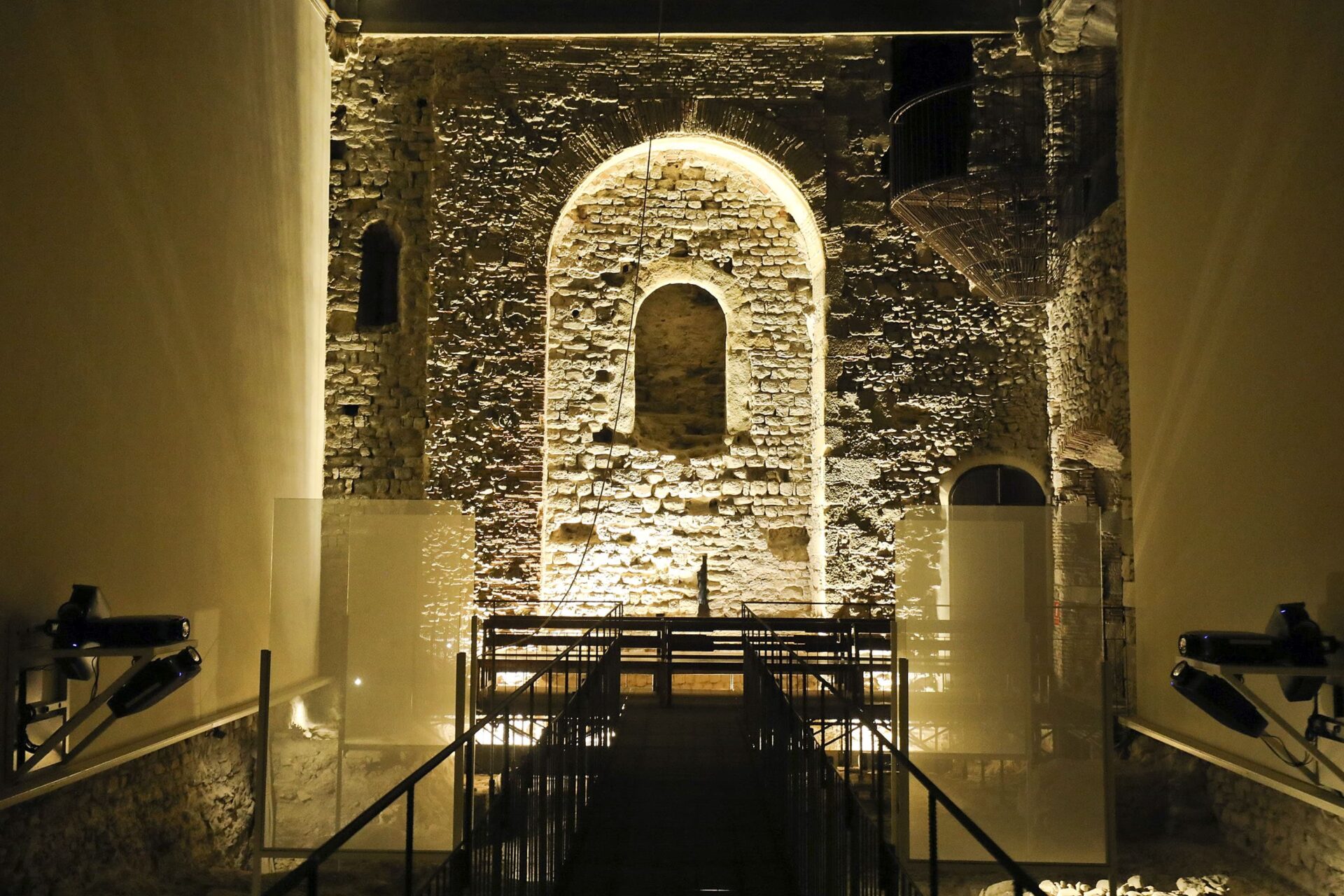
We explain you the story of the Roman Temple enclosure with video mapping techniques. At the highest point of the historical center, the southern wall of the Roman Temple serves as a canvas to explain this place that has changed over time.
The mapping is part of the VICPUNTZERO project, a project that highlights the importance of this place where we are, not only the Roman Temple precinct, but the whole island of houses that we call Illa de la Pietat, located at the highest point of the historic center, which has been one of the points from which the city was structured.
On this island of houses, the long history of Vic becomes more apparent than in any other. Here we find the Roman Temple, from the Ist century AD, the oldest archaeological rest of the city, and in the same place, around it, the remains of the medieval castle from which part of the city was ruled for centuries. Attached to the castle was the Romanesque church of St. Sadurní, of which we can see several remains and which over the centuries expanded and became the church of the Pietat, this great Baroque building built in the XVIIth century.
It is, therefore, a collection of buildings closely related to each other and that form a heritage set of great value for Vic, in a place that we consider to be a foundational space because there is the oldest rest of the city – the Roman Temple – which was located in a pre-eminent place of the city, which was founded by the Romans.
Two thousand years of history in one space, two buildings in one, on the place where Vic began.
Free evening activity.
Duration: 6 minutes.
Programming on special dates


